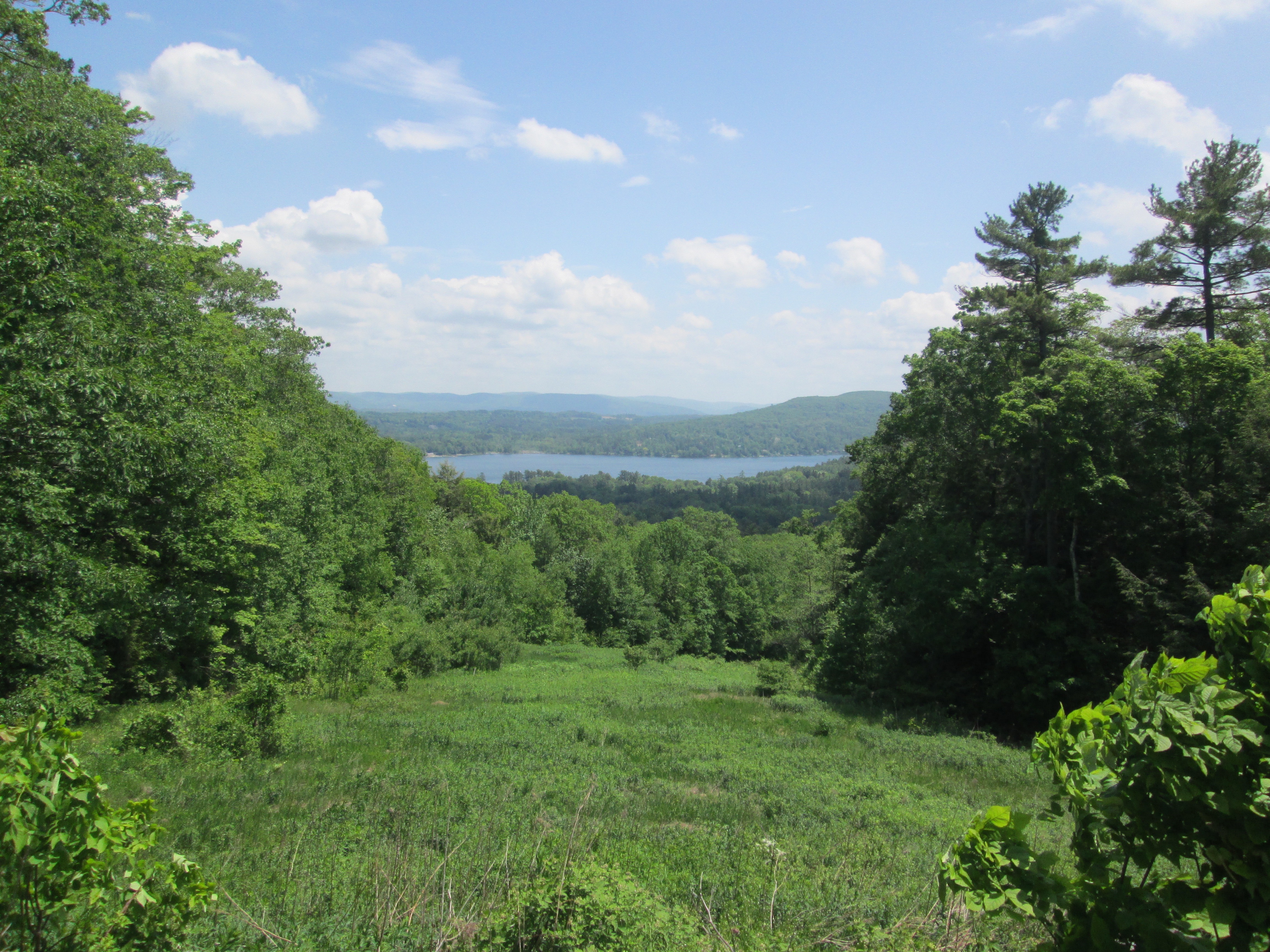
Olivia’s Overlook is a scenic vista with stunning views of Stockbridge Bowl. The Olivia’s Overlook parking area is located on Richmond Mountain Road in West Stockbridge, Massachusetts close to the Lenox / Richmond border. The scenic vista is named after Olivia Stokes Hatch, whose family gifted the land to the Berkshire Natural Resource Council. Olivia’s Overlook is the trailhead for the Yokun Ridge section of the Taconic Mountain range in the Berkshires. There are over 6 miles of hiking trails to be explored at Olivia’s Overlook.
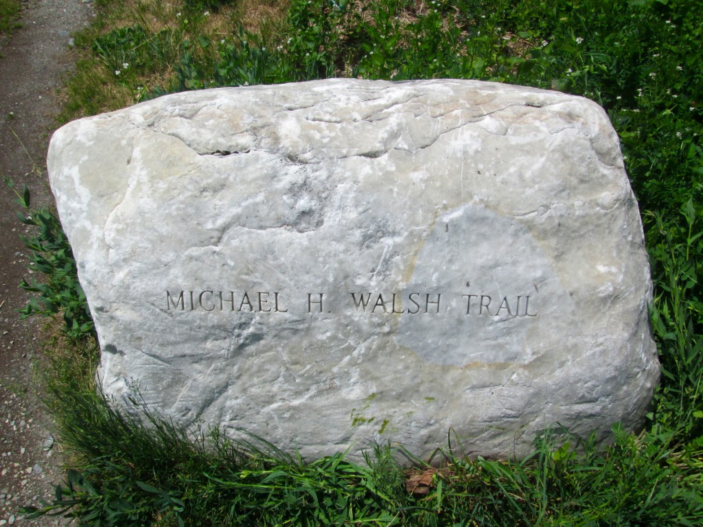
Michael H. Walsh Trail
By taking the Michael H. Walsh trail, you can enjoy a fairly easy hike up to the West Stockbridge Mountain’s summit where you can enjoy views of Monument Mountain and the Richmond Valley. The Michael H. Walsh Trail is maintained by the Richmond Land Trust.
Charcoal Trail
The charcoal trail is a 1.6 mile loop that is named for the charcoal pits that are found along the way. Be sure to explore the remnants of the old charcoal pits which were used to provide fuel for Richmond Furnace.
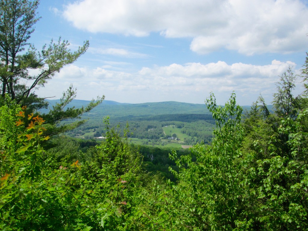
Burbank Trail
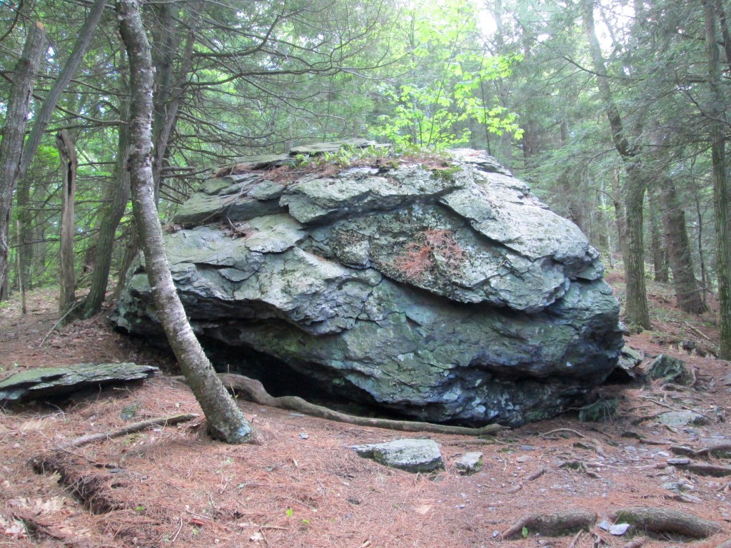
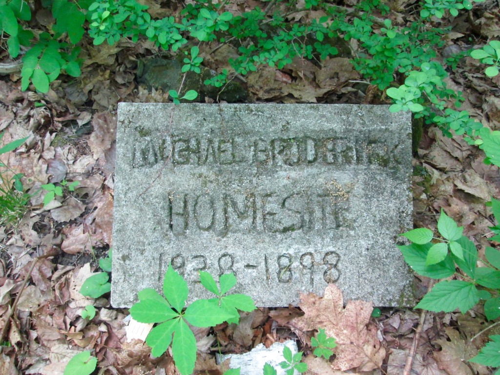
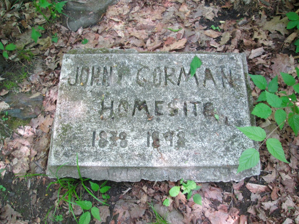
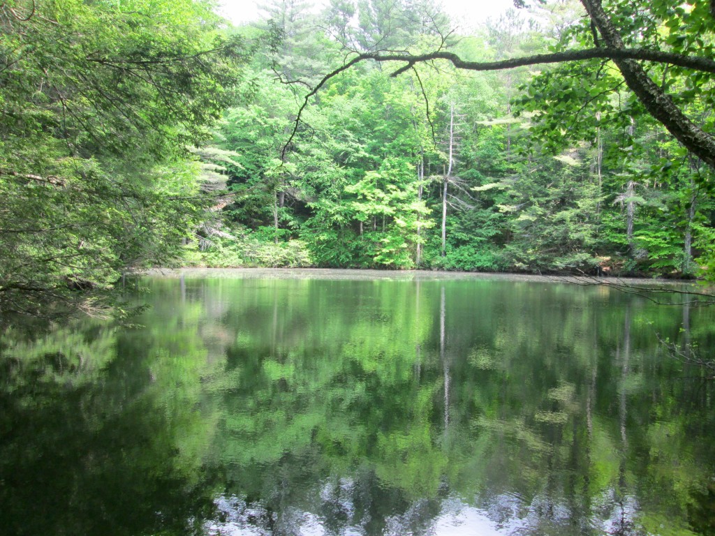
The Burbank Trail is a 3.2 mile loop that begins just across the road from Olivia’s Overlook. There is a stunning view at the lookout point, and you’ll also eventually come upon two early homestead sites. Monks Pond, which is accessible from the Burbank Trail, has some interesting history behind it. The pond was named after the Jesuits who rebuilt the Shadowbrook estate after it had burned down in 1956. The pond served as the water supply to the Jesuit monastery.
Brother’s Trail
The Brother’s Trail is a 0.9 mile one-way trail that connects the Charcoal Trail to Old Baldhead Road.
Old Baldhead Road
Old Baldhead Road is a 1.5 mile trail that is moderately difficult to hike. Old Baldhead Road passes Monks pond and will eventually lead you to private property. Please keep your eyes open for the private property signage.
Trail Map & Additional Info
You can obtain a trail map for Olivia’s Overlook and Yokun Ridge South here. Olivia’s Overlook and the Yokun Ridge South reserve has been lovingly maintained and preserved by the Berkshire Natural Resource Council. Please head on over to BNRC’s website to learn more about the organization.