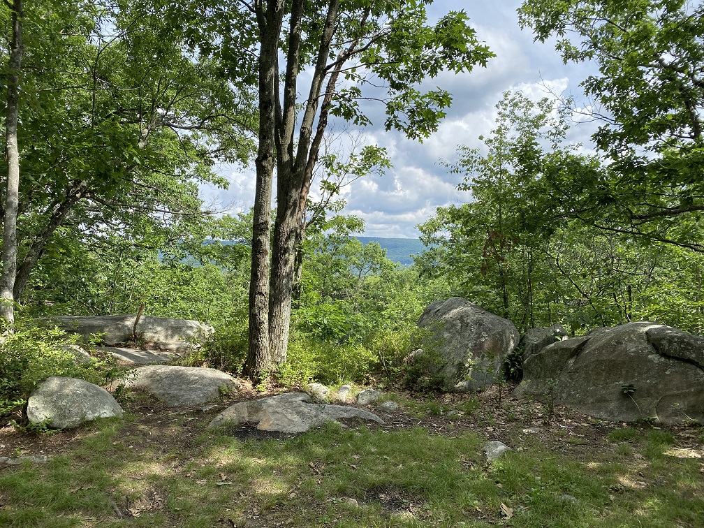
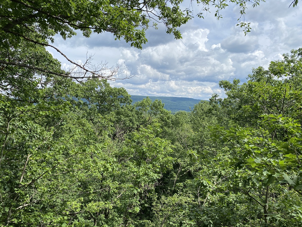
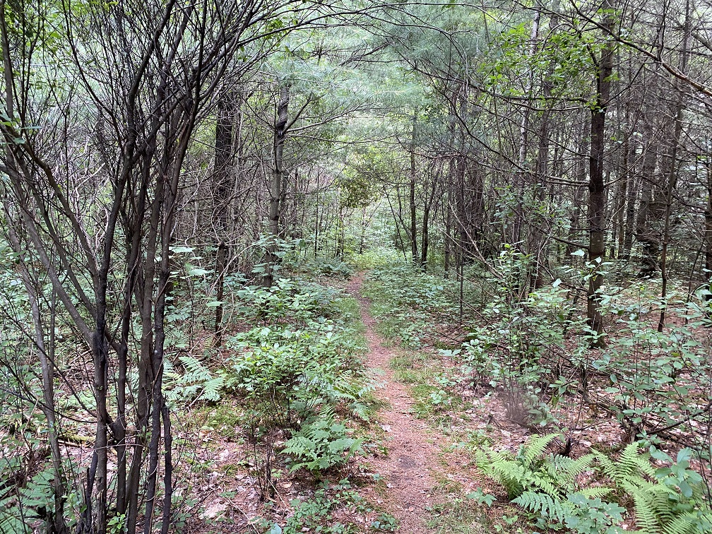
The Boulders is a 645 acre conservation area that overlaps the towns of Dalton, Lanesborough, and the City of Pittsfield, Massachusetts. The Boulders features over six miles of hiking trails and offers a stunning view from the boulders at the summit for which the area is named. The hiking trails at the Boulders are wide and easy to navigate. When visiting the Boulders, you’ll enjoy a gentle hike through a gorgeous hardwood forest. There are also small streams and a pond that attract an abundance of local wildlife.
History of the Boulders
The Crane family, who are the founders of the Crane Paper Company in Dalton, Massachusetts acquired the land in the early 1800’s. The Crane family built a lodge on the property, which is now gone, and seemed to use the land extensively based on the still existing carriage roads and bridle paths that now serve as hiking tails. The Crane family opened the Boulders to the public in 1994. In 2015, the Crane family donated the land comprising the Boulders to Berkshire Natural Resource Council.

The hiking trails at the Boulders
There are over six miles of hiking trails for you to explore at the Boulders. Generally speaking, the trails are wide enough to accommodate hiking, jogging, biking, snowshoeing, and cross-country skiing. Dog walking is also allowed providing that dogs remain leashed at all times.
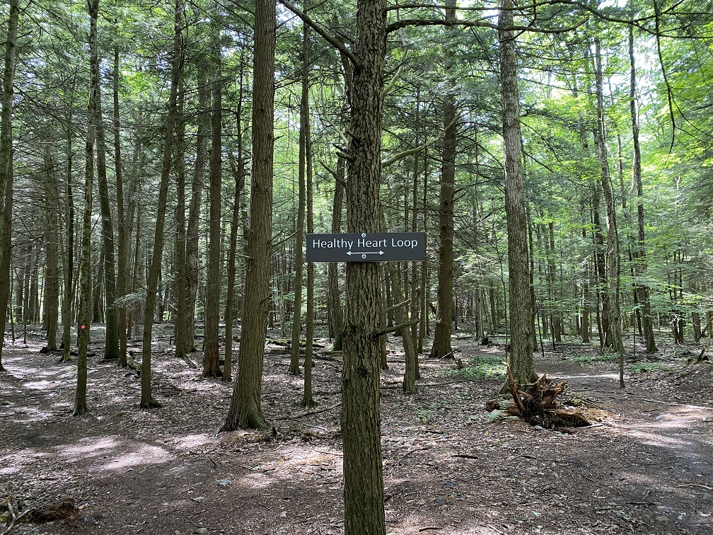
Healthy Heart Loop
The Healthy Heart Loop trail at the Boulders consists of a half mile round-trip hike that is of an easy difficulty level.
Green Trail
At 1.4 miles the Green Trail offers a longer hike than the Healthy Heart Loop while still maintaining an easy difficulty level. The Green Trail intersects with the Red Trail which you could always take should you decide to go on a longer hike.
Blue Trail
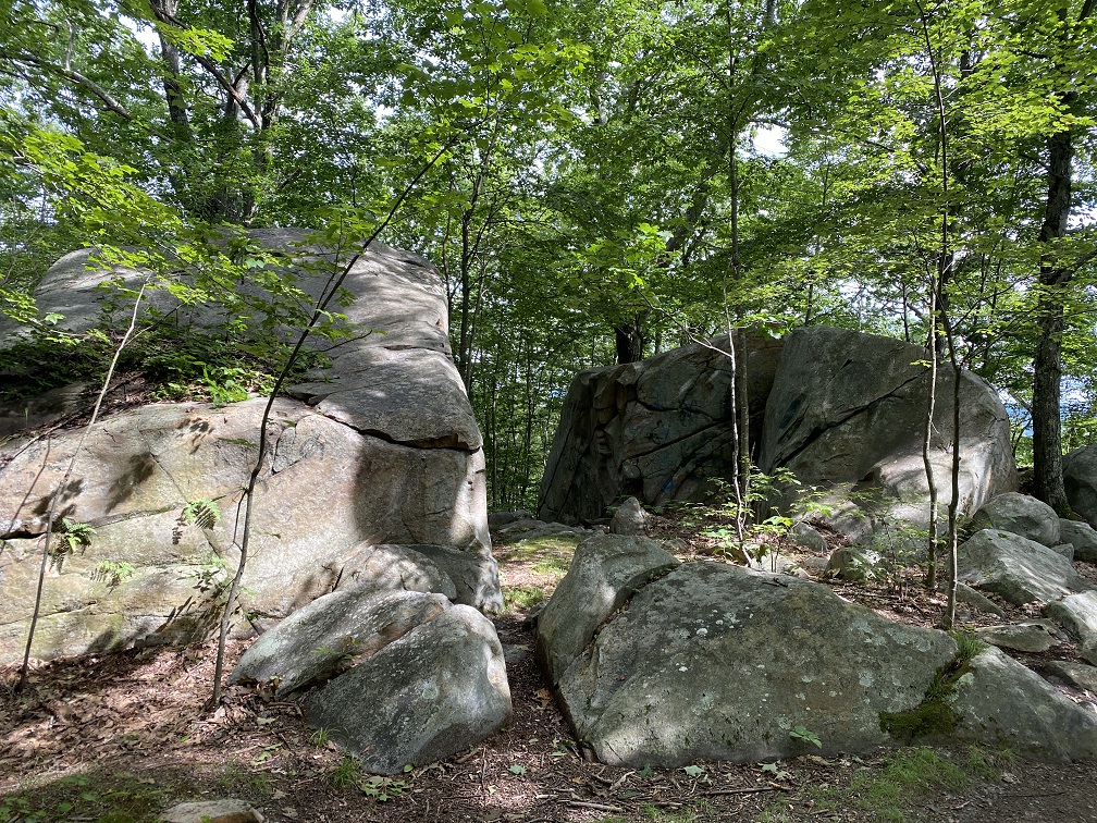
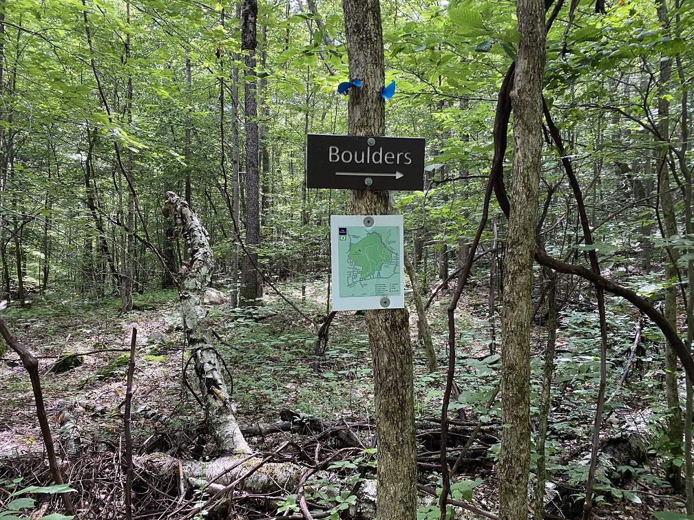
The Blue Trail is 2.8 miles long (round-trip) and will lead you to the boulder ridge for which this conservation area is named. The Blue Trail has a moderate difficulty rating which can be attributed to uneven footing on the trail as well as the gradual change in elevation as you make your way to the 1,395 foot high boulder ridge.
Red Trail
The Red Trail is a 2.4 mile round-trip loop that has a moderate difficulty rating. The red trail brings hikers along the side of a stream, over well crafted foot bridges, and around a beautiful small pond. The red trail offers easy access to the Blue Trail should you decide to hike to the boulder ridge.

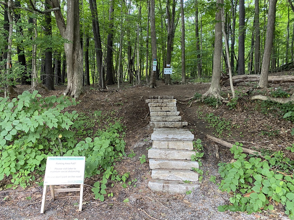
Boulders trail map and unmarked trails
A trail map for the Boulders can be downloaded from the Berkshire Natural Resource Council website. You will notice that the trail map shows several unmarked trails. These trails may have once been bridle paths or in some cases are narrow man made footpaths. These unmarked trails are in many cases too narrow for activities such as cross country-skiing, but are fun to explore nonetheless.
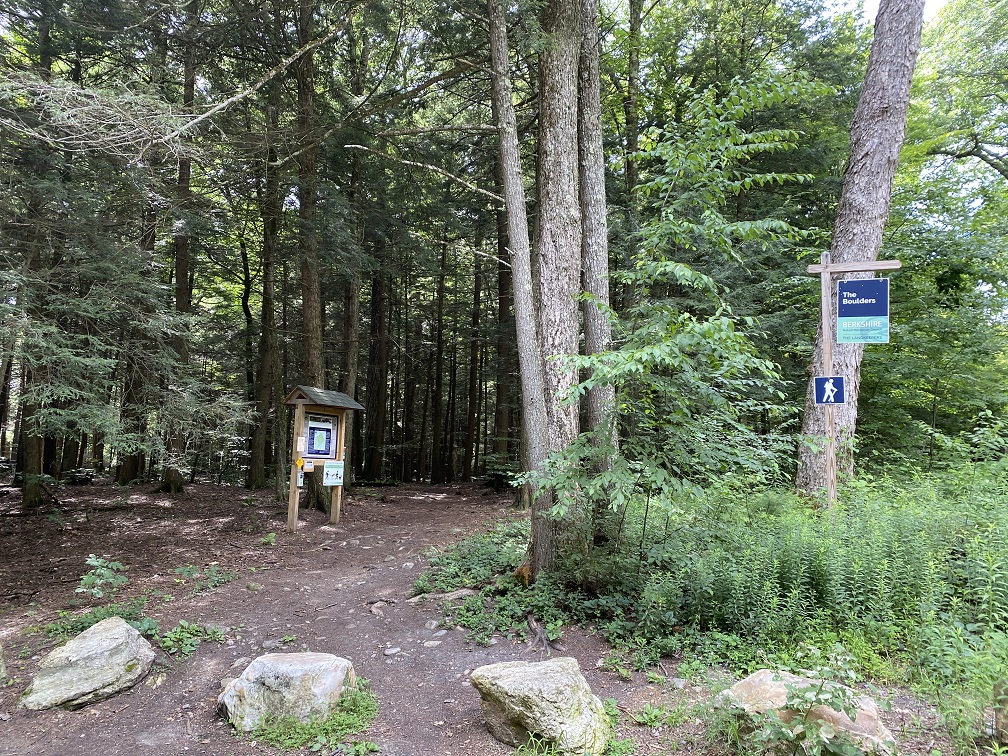
Parking and trailhead access
The Boulders can be accessed from Gulf Road in Dalton, MA as well as from Dalton Avenue in Pittsfield, MA. The parking area on Gulf Road is accessed most easily by taking Dalton Ave (Roue 8) into the town of Dalton. Take a left on to Park Avenue, you’ll pass Craneville Elementary School and the Dalton DPW garage before eventually taking a left onto Gulf Road. There is a parking area on the left hand side of Gulf Road. The entrance to the Boulders parking area on Dalton Avenue in Pittsfield is located directly across from Hubbard Avenue.